Blog Hero

Our Blog

Insights, tutorials, and updates from the world of geospatial technology

Drone Survey in Lagos
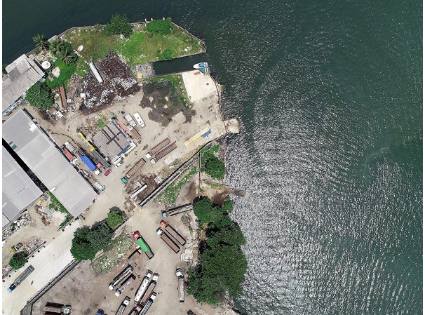
Land / Cadastral SurveyApr 1, 2019

Drone Survey in Lagos

Drone surveys go beyond photography by capturing aerial images with accurate, to-scale measurements.

DA
DanAuthor
Read More
No Image
Land / Cadastral SurveyMar 25, 2019

Benefits of Buying Land Free from Government Acquisition in Lagos

Lands in Lagos that are free from government acquisition are often more valuable due to the benefits they offer.

DA
DanAuthor
Read More
No Image
Land / Cadastral SurveyFeb 26, 2019

After Buying Land, Take Physical Possession Quickly

After buying land, taking physical possession is crucial to protect your investment.

DA
DanAuthor
Read More
No Image
Land / Cadastral SurveyFeb 1, 2019

Benefits of Using Drones in Construction

Drones are transforming construction sites in Lagos by providing aerial images that improve planning, monitoring, and safety.

DA
DanAuthor
Read More
No Image
Land / Cadastral SurveyFeb 1, 2019

Requirements for Granting of Village Excision in Lagos

Applying for excision in Lagos State requires proper documentation submitted to the Lands Bureau.

DA
DanAuthor
Read More
No Image
Land / Cadastral SurveyJan 31, 2019

Drone Photo – A better perspective

Drone photo of an oil depot in Lagos

DA
DanAuthor
Read More
No Image
Land / Cadastral SurveyJan 31, 2019

Land Ratification or Regularization In Lagos State

Land Regularization (also called Ratification) happens when a person or company buys land that legally belongs to the government.

DA
DanAuthor
Read More
No Image
Land / Cadastral SurveyJan 25, 2019

List of Registered Surveyors in Lagos State

In Nigeria, only registered surveyors can legally practice anywhere in the country.

DA
DanAuthor
Read More
Drone Aerial Images for Real Estate Marketing
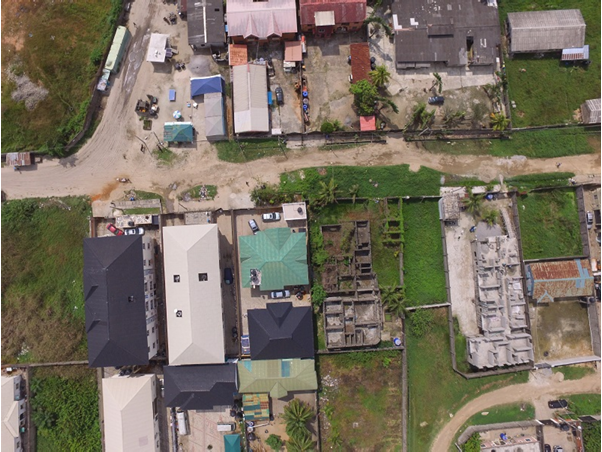
Land / Cadastral SurveyDec 7, 2018

Drone Aerial Images for Real Estate Marketing

An aerial photo is an image taken from above ground level, now easily captured using drones instead of costly aircraft.

DA
DanAuthor
Read More
No Image
Land / Cadastral SurveyDec 6, 2018

Drone Survey for Real Estate Marketing

An aerial photo is an image captured from an elevated position above the ground.

DA
DanAuthor
Read More
PreviousPage 19 of 24Next