Our Blog
Insights, tutorials, and updates from the world of geospatial technology

Best DJI Surveying Drones In Nigeria And Their Prices (2026 Guide)
Discover the best DJI drones for surveying in Nigeria (2026), including prices in Lagos, features, and top models
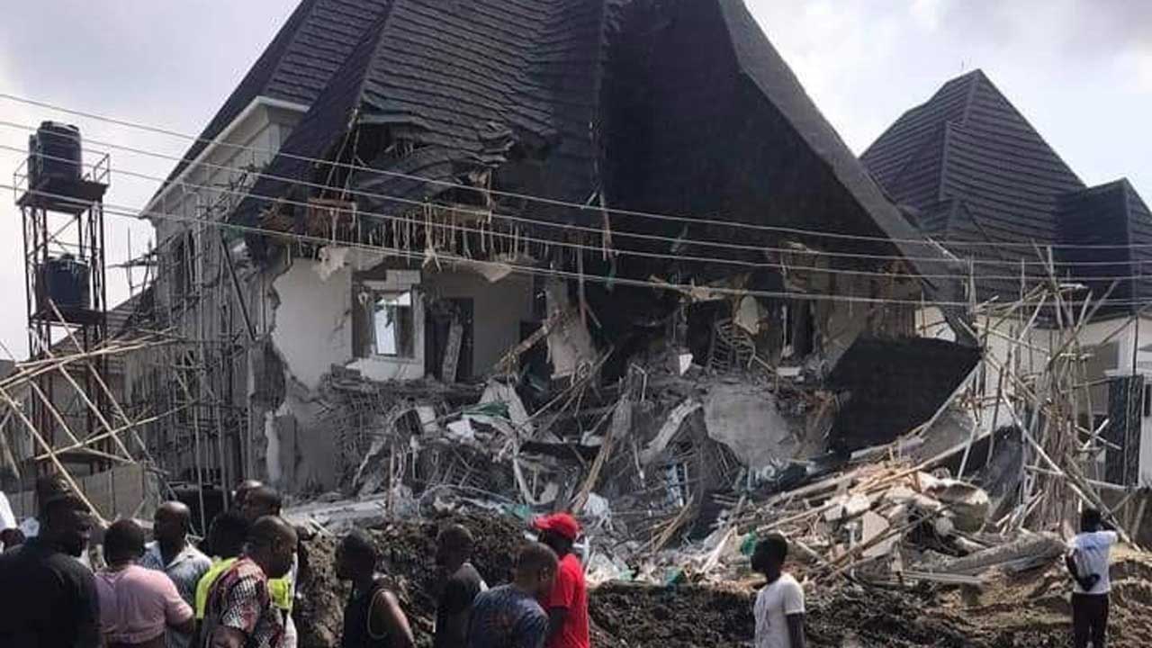
Land Matters in Nigeria: Why Every Transaction Must Be Backed by Paper
Land transactions in Nigeria come with serious risks when proper documentation is ignored. The Festac Town land dispute highlights how poor due diligence, conflicting ownership claims, and lack of valid titles have led to massive financial losses and demolitions. This article explains why securing the right land documents, verifying title history, and engaging professionals is critical before any purchase.
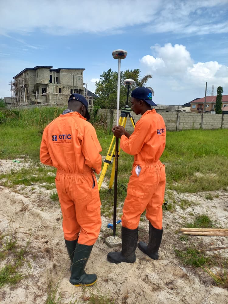
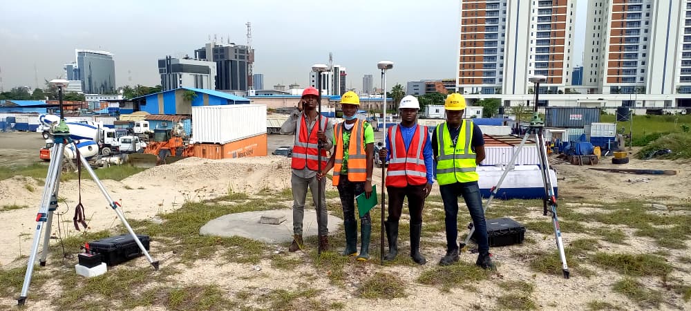
Why Boundary Surveys Remain the Foundation of Land Ownership in Nigeria
Boundary surveys are essential to establishing and protecting land ownership in Nigeria’s rapidly growing real estate environment.

Why Only Licensed Surveyors Should Handle Cadastral Surveys
Cadastral and boundary surveys are fundamental to land ownership because they define the legal limits of property, support land registration, and help prevent disputes.
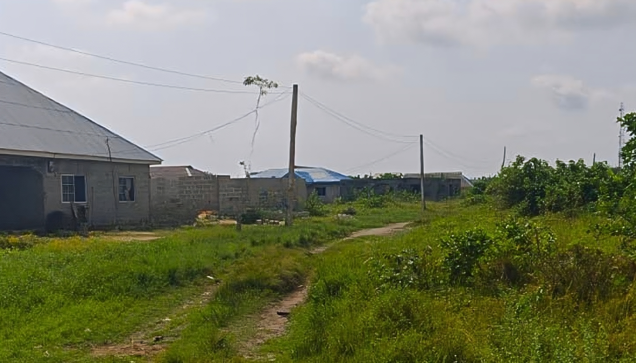
Why Landowners Should Re-Survey Old Plots Before Development; for Nigerian Landowners
Re-surveying an old plot before development is a crucial step for protecting any land investment.
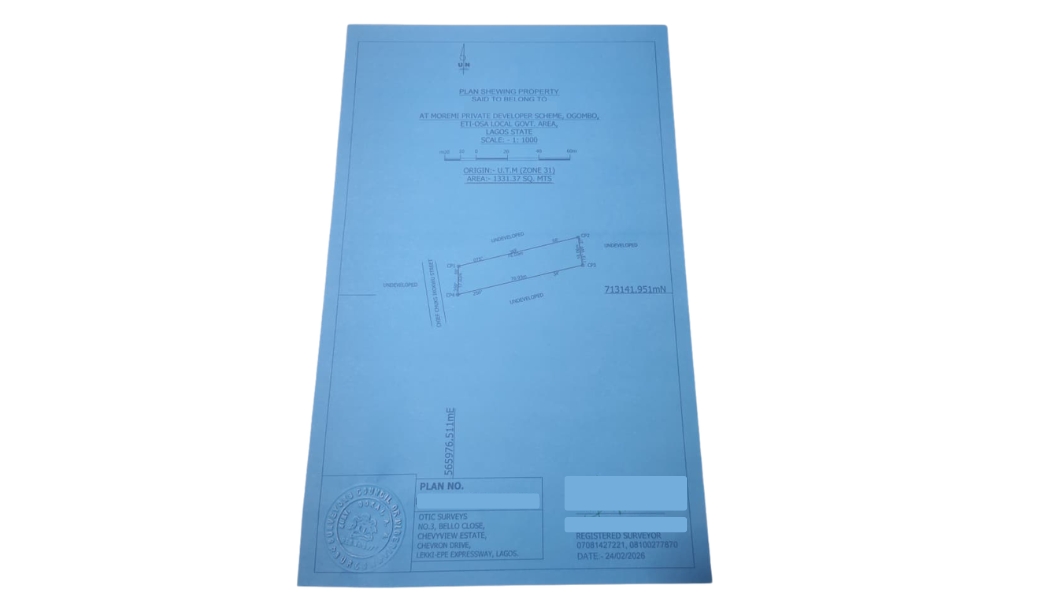
How to Read and Understand a Survey Plan as a Non-Surveyor
Understanding a survey plan is essential for anyone buying land in Nigeria.

How Surveyors Help Buyers Avoid Omonile Scams
Protect yourself from Omo-Onile land scams in Nigeria. Learn why hiring a licensed surveyor is essential to verify boundaries, ownership, survey plans, and government acquisition status before buying land.

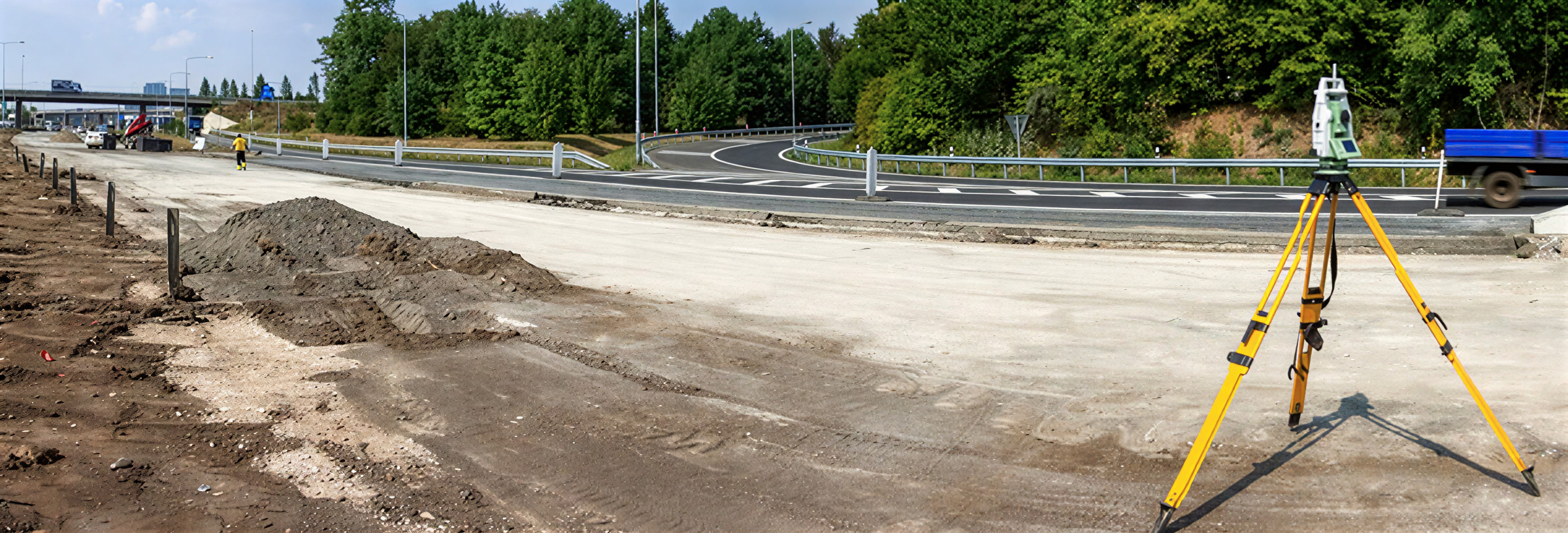
Part 4: Why Contractors Must Hire Smart Surveyors
In road construction, engaging qualified, fast-thinking engineering surveyors is not optional—it’s a strategic decision that directly impacts cost, safety, durability, and overall project success.
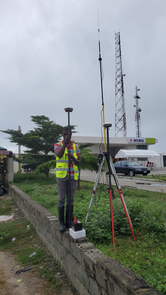
Part 3: Modern Tools and Techniques for Road Surveying
Surveying has evolved significantly. Today’s surveyors blend traditional methods with advanced technology to deliver precise, efficient, and reliable data across all types of projects.
The Role of Surveyors in Preventing Land Encroachment in Nigeria
Land encroachment is one of the most common triggers of property disputes in Nigeria.